
E51: crossing the Bernese Oberland
A high-mountain traverse through glaciers, alpine ridgelines, and Swiss silence
Grindelwald, Switzerland
- Distance
- 52.1 km
- Elevation gain
- 1808 m
- Max altitude
- 2678 m
- Estimated time
- 9-11 h
- Difficulty
- very high
Start
Grindelwald
End
Grindelwald
Some routes get planned months in advance; others just show up in front of you one day, boots already on. This one was the second kind: an ultra-distance route crossing the Bernese Oberland end to end, with the kind of elevation gain that doesn’t let you lie to yourself about your fitness.
Leaving Grindelwald is deceptive. The village is still asleep, the air is cold, and the trail drops gently before it starts climbing in earnest. It’s easy to go out fast — too fast — when you don’t yet know what’s coming.
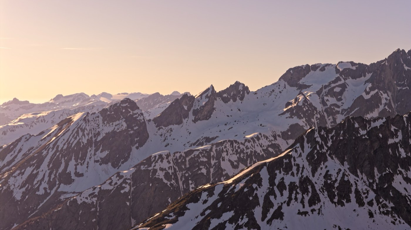
What’s coming is a long ridge that seems to never end. Climbs of over a thousand meters followed by technical descents on loose rock, the Eiger appearing and disappearing behind clouds rolling up from the valley by mid-morning. That’s the stretch where everyone’s race gets decided — not at the start, not in the final sprint.
Note: this text is example content, written to show the site’s editorial format. Replace it with your own chronicle of the route.
The route
Elevation profile
One long, steady climb to the ridge. Eight technical kilometers of descent at the end.
Highlights
- Direct views of the Bernese Oberland's granite walls for most of the route
- One of the longest, most exposed ridge sections I've run
- No resupply points for 20 km — come prepared
The route, stretch by stretch
Km 0 - 12
Start and first valley
Grindelwald disappears behind you fast. The trail drops into the valley before climbing in earnest, through conifer forest and the first clearings with glacier views. The opening pace always lies to you — this is still the part where running feels easy.
Km 12 - 32
The long ridge
The middle stretch is what decides the race. Climbs of over 1,000 m followed by technical descents on loose rock. Clouds roll up from the valley by mid-morning and sometimes swallow the Eiger completely.
Km 32 - 51
The way back
With legs already worked over, the route drops toward the last villages before Grindelwald. This is where races unravel: technical, long, and with almost no shade during the hottest hours.
Heads up
- Weather in the Bernese Oberland changes without warning. A clear afternoon can turn into a lightning storm in under an hour.
- Several ridge sections have no phone signal. Share your route and estimated schedule before you leave.
- Loose rock on the descents is the most common cause of injury here — don't race the clock on terrain you don't know.
Recommendations
- Start before sunrise if you can — it buys you margin against the afternoon storms that are common in the Alps in summer.
- Train the technical descent specifically; more time is lost here descending badly than climbing slowly.
- Bring poles. On the long ridge, they're the difference between running and dragging yourself along.
- Check the forecast the night before and again at the start — mountain weather changes faster than it looks from the valley.
Ideal weather
Alpine summer (July-August), starting before sunrise to avoid afternoon storms.
Suggested gear
- Folding trekking poles
- Waterproof and windproof jacket
- Emergency thermal blanket
- GPS with the route downloaded (don't rely on signal)
- At least 1.5 L of water plus a filter or purification tablets
Water & food
There are resupply points in the villages along the way, but the long ridge section (km 12-32) has no water source at all — plan accordingly.
Gallery
Watch the video
I made a video of this route, in case you want to see it.
This is what the terrain looks like, as I ran it.
More routes on Instagram — @hidelink →